


11,1 km | 27 km-effort


Usuario


Aplicación GPS de excursión GRATIS
 SityTrail
IGN / Institutos geográficos
SityTrail World
El mundo es suyo
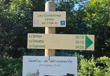
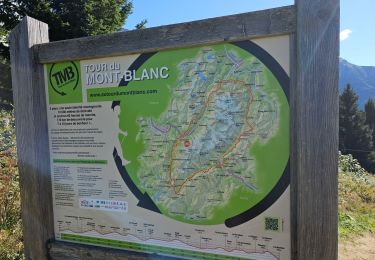
Ruta Senderismo de 77 km a descubrir en Auvergne-Rhône-Alpes, Alta Saboya, Les Contamines-Montjoie. Esta ruta ha sido propuesta por Elbe.
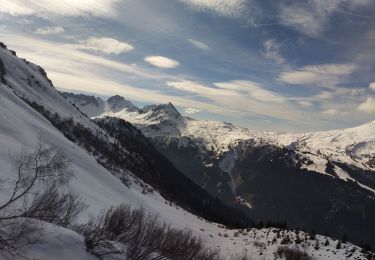
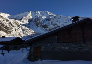
Tour du Mont Blanc avec L'HSL'P (Accompagnateur Montagne : Yves Jacquemoud)
Départ des Contamines-Montjoie.
Étapes :
1) Chalet du Berger (Lac de la Girotte),
2) Gîte de la Gittaz,
3) Gîte de Plan Mya,
Transport en voiture de Plan Mya jusqu'a "La Ville des Glaciers"
4)
Esquí de fondo
Esquí de fondo
Esquí de fondo
Esquí de fondo
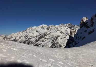
Esquí de fondo

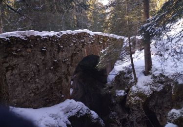
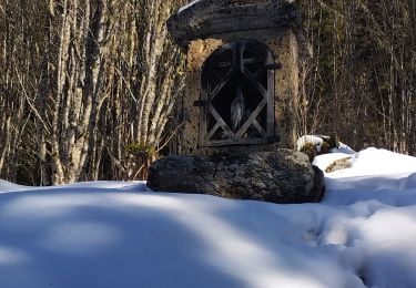
Senderismo
Senderismo
Senderismo
Senderismo